
North Utrecht Waterline cycle route
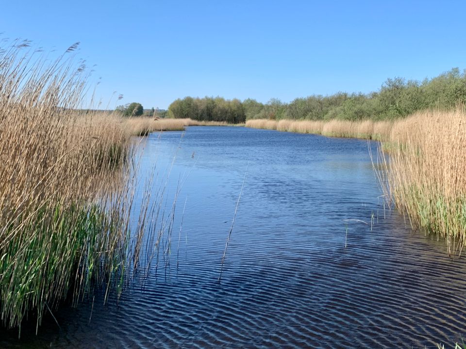
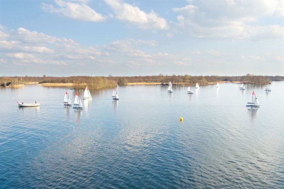
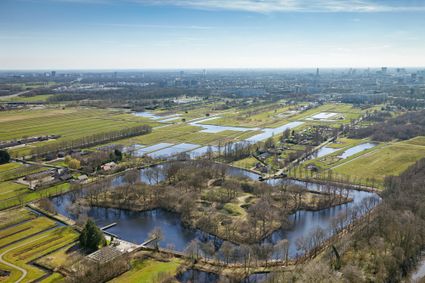
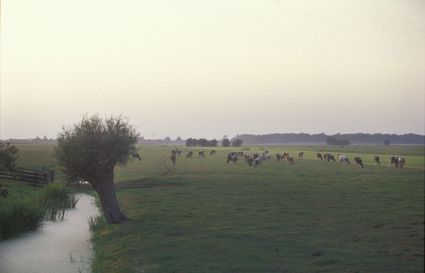
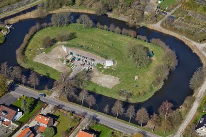
This cycle route takes you from the heart of Utrecht to the Noorderpark-Ruigenhoek, a lush and lovely nature and recreation area, in just 20 minutes. Here, you’ll experience just how beautiful and tranquil nature can be, so close to the bustling city. You’ll also pedal past Westbroek, in its tranquil rural setting, and some of the lakes at Loosdrecht. You will pass four impressive forts belonging to the New Dutch Waterline: Fort Blauwkapel, Fort Ruigenhoek, Fort Maarsseveen and Fort aan de Klop.
Locations on this route
Start point
Viebrug
3511 Utrecht
Navigate to starting point
St. Anthoniedijk 120
3566ME Utrecht
3508 TH Utrecht
1231 LJ Loosdrecht
3602 AN Maarssen

End point
Weerdsingel O.Z. 1
3514 AA Utrecht
Navigate to endpoint
Directions
This cycle route follows the cycle junction network. Follow the junctions. This cycle route follows the cycle junction network. Follow the junctions: 28 - 90 - 91 - 05 - 32 - 93 - 20 - 29 - 27 - 23 - 62 - 45 - 53 - 72 - 28.
- 31
- 28
- 60
- 55
- 91
- 5
- 32
- 93
- 20
- 29
- 49
- 27
- 23
- 62
- 45
- 35
- 53
- 72
- 30
- 42
- 28