
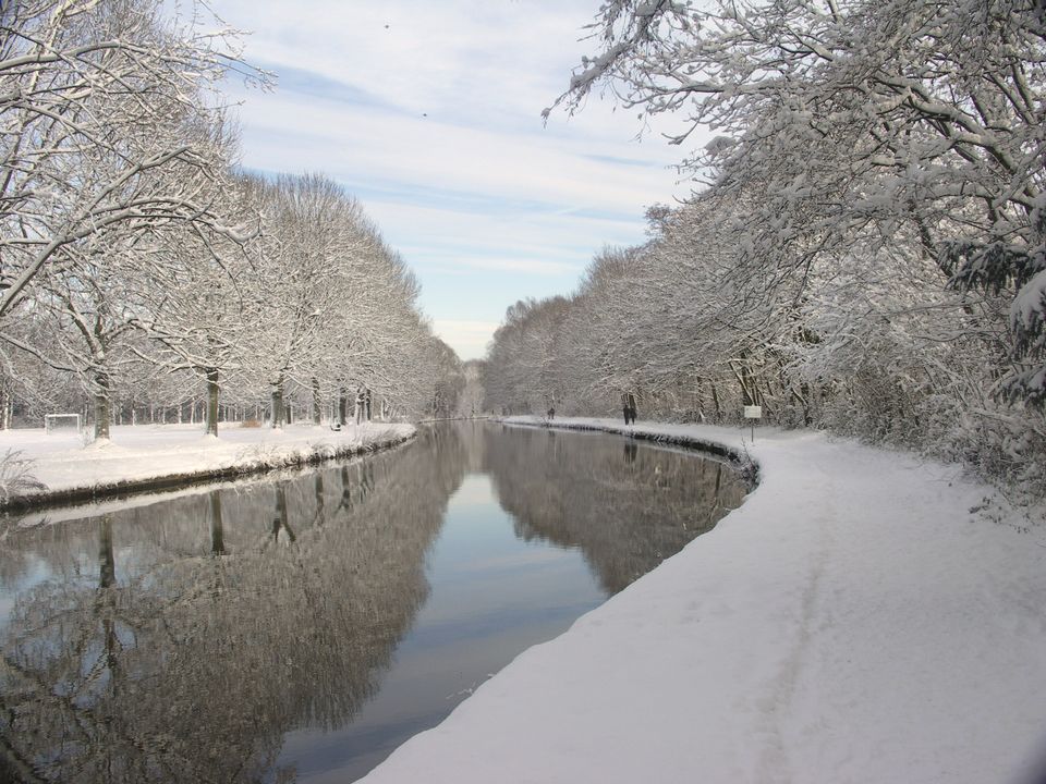
Kromme Rijnpad between Utrecht and Wijk bij Duurstede
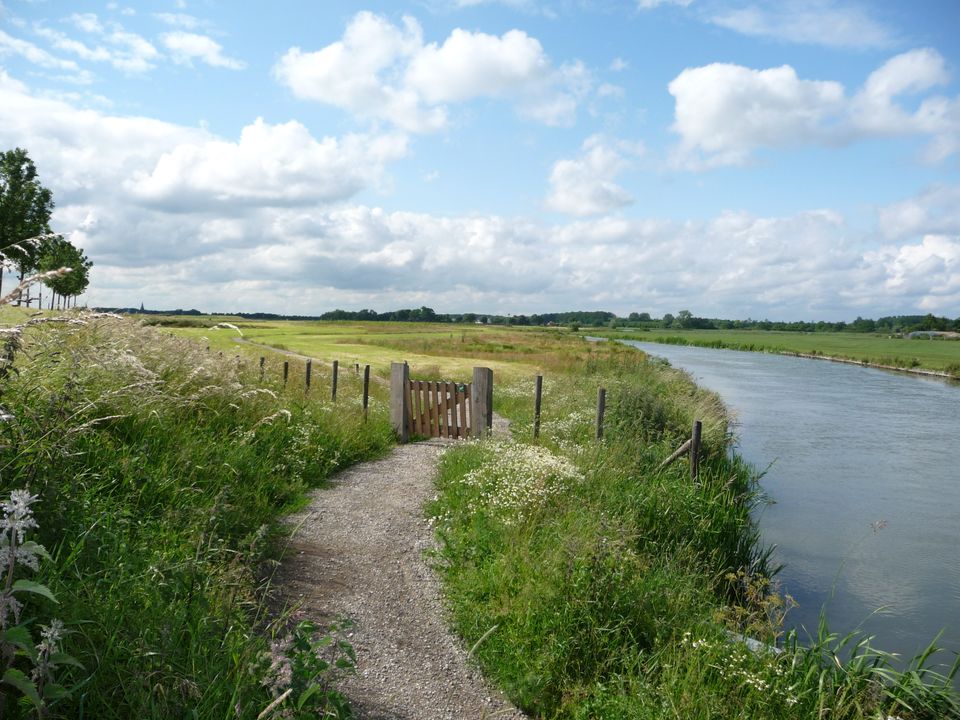
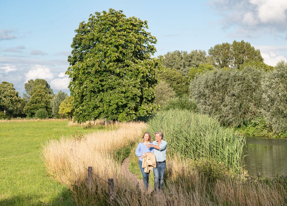
The Kromme Rijnpad is perhaps Utrecht's most beautiful walking route. This varied hike between Utrecht and Wijk bij Duurstede follows the course of the Kromme Rijn river and partly follows an old towpath. The route is 29 km long in total, but can be divided into several stages. Several walking detours near villages and towns let you discover the area around the Kromme Rijnpad. The route has its own signposting and is included in the Wandelnetwerk Kromme Rijnstreek.
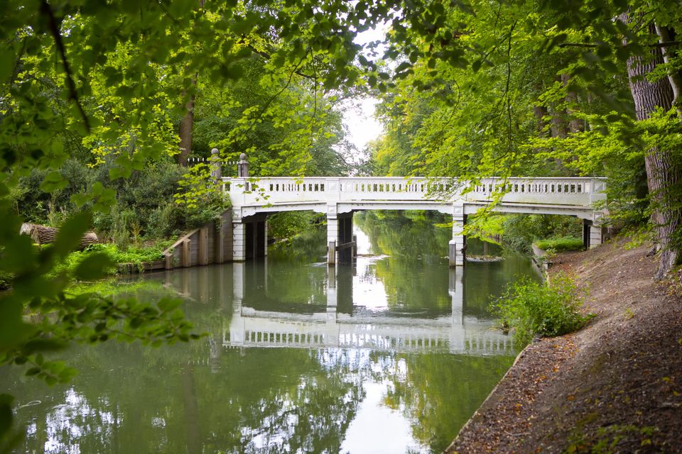
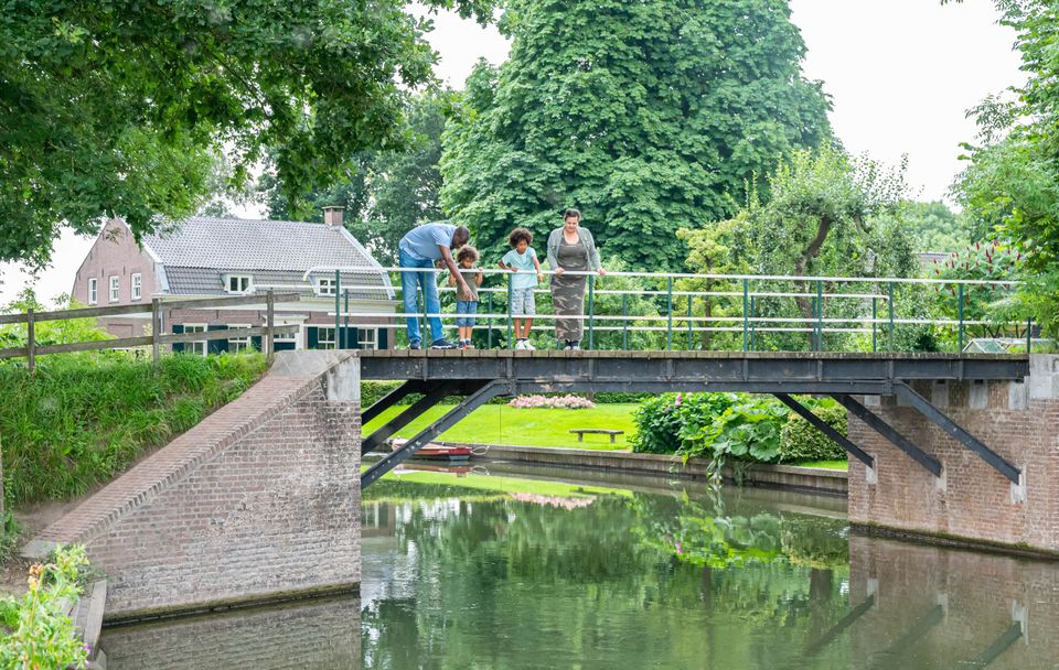
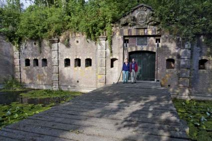
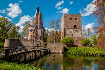
Enjoy a wide variety of flora and fauna, stately country estates and orchards and discover parts of the Roman Limes and the Nieuwe Hollandse Waterlinie. The Kromme Rijnpad has it all!
Kromme Rijn as a thread through the region
Probably flowing ...
The Kromme Rijnpad is perhaps Utrecht's most beautiful walking route. This varied hike between Utrecht and Wijk bij Duurstede follows the course of the Kromme Rijn river and partly follows an old towpath. The route is 29 km long in total, but can be divided into several stages. Several walking detours near villages and towns let you discover the area around the Kromme Rijnpad. The route has its own signposting and is included in the Wandelnetwerk Kromme Rijnstreek.
Enjoy a wide variety of flora and fauna, stately country estates and orchards and discover parts of the Roman Limes and the Nieuwe Hollandse Waterlinie. The Kromme Rijnpad has it all!
Kromme Rijn as a thread through the region
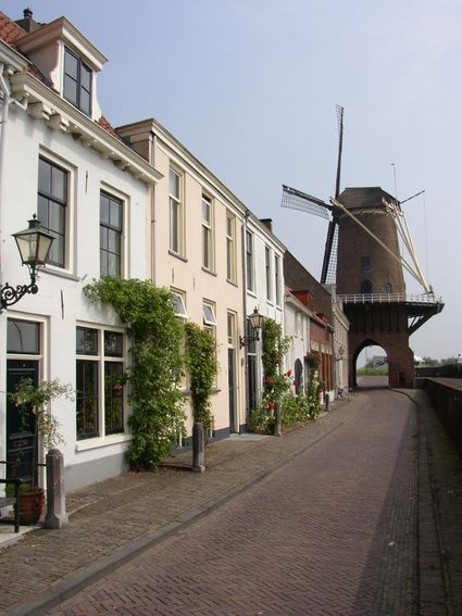
The Kromme Rijn has probably been flowing through the Utrecht landscape for about 3,000 years. It was a wide river, at least as wide as the Lek, and flowed from Wijk bij Duurstede to Utrecht, just as it does today. The river flows like a thread through the region and has left a clear mark on the development of landscape, villages and towns over time.
The Kromme Rijn was originally called Oude Rijn, but around 1500, because of its many bends, it quickly became popularly known as the Kromme Rijn. The river shifted its course each time. Deposited silt created fertile soils, which were used for arable farming and fruit growing. Slowly but surely, the Kromme Rijn area grew into a varied and diverse landscape, which is now of great cultural-historical value.
Read what others think of this route
Blogger Wanda Wandelt walked this walk and wrote a nice walking blog about it. Blogger Carolien from Dream the World also walked the Kromme Rijnpad walking route and wrote a walking blog about it.
You are going to see this
-
84
-
83
-
41
-
82
-
-
79
-
40
-
42
-
81
-
73
-
74
-
-
-
37
-
42
-
45
-
47
-
48
-
49
-
51
-
76
-
75
-
81
-
84
-
85
-
55
-
57
-
61
-
59
-
64
-
72
-
70
-
26
-
25
-
17
-
15
-
14
-
11
-
11
-
-
89
-
41
-
51
-
52
-
82
-
Inundation sluice Wijk bij Duurstede
Inundation sluice Wijk bij Duurstede
Singel 51
3961CH Wijk bij Duurstede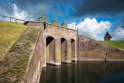
-
86
-
-
10
-
-
Endpoint:
TOP Stadshaven, Wijk bij Duurstede
Havenweg 2
3961 AW Wijk bij Duurstede
Navigate to destination
Description
The Kromme Rijnpad is signposted with blue shields bearing in white the text 'Kromme Rijnpad' and an arrow pointing you in the right direction.
This route also follows the walking junction network, recognisable by the orange route signs with blue numbers and arrows. Follow the nodes: 83 - 41 - 82 - 79 - 40 - 42 - 81 - 73 - 74 - 37 - 42 - 45 - 47 - 48 - 49 - 51 - 76 - 75 - 81 - 84 - 85 - 55 - 57 - 61 - 59 - 64 - 72 - 70 - 26 - 25 - 17 - 15 - 14 - 11 - 89 - 41 - 51 - 52 - 82 - 86 - 10.
This walking route is signposted and can be followed in both directions, i.e. from Utrecht to Wijk bij Duurstede and vice versa.
Endpoint:
TOP Stadshaven, Wijk bij DuurstedeHavenweg 2
3961 AW Wijk bij Duurstede
Navigate to destination
- 84
- 83
- 41
- 82
- 79
- 40
- 42
- 81
- 73
- 74
- 37
- 42
- 45
- 47
- 48
- 49
- 51
- 76
- 75
- 81
- 84
- 85
- 55
- 57
- 61
- 59
- 64
- 72
- 70
- 26
- 25
- 17
- 15
- 14
- 11
- 11
- 89
- 41
- 51
- 52
- 82
- 86
- 10