
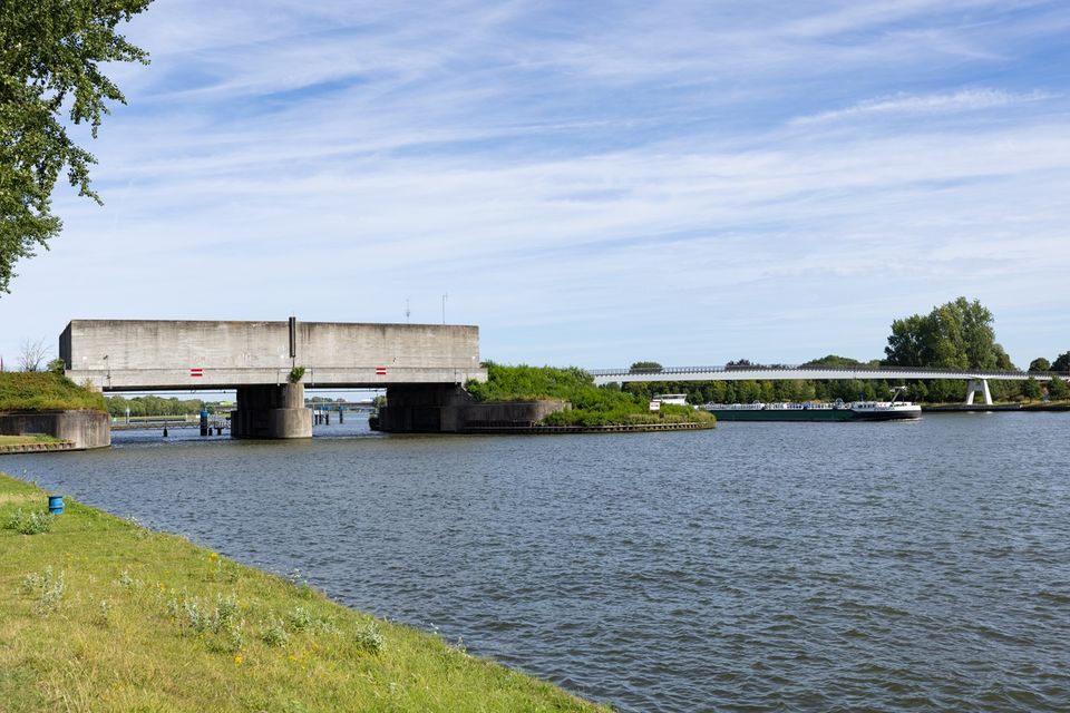
Around Plofsluis
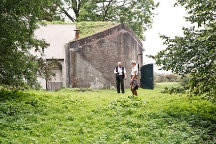
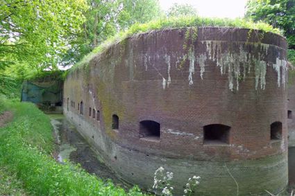
Discover locks, dykes and canals of the Nieuwe Hollandse Waterlinie south of Utrecht. This cycle route takes you past historical objects of the Nieuwe Hollandse Waterlinie. Along the way, you will get a picture of how the water system that provided inundation of the land worked. Cycling past dikes, sluices, wheels and water storage facilities, you will experience history and see what modern water management means.
No waterline without water boards
Water was the weapon of the Nieuwe Hollandse Waterlinie. To quickly flood land (inundation), the Ministry of War built hundreds of sluices and constructed new canals. Many of these are still in use by water boards. Not for defending land with water, but to ensure sufficient clean water in ditches and ponds.
You are going to see this
-
-
90
-
3
-
Princess Beatrix Lock and Lek Canal
Princess Beatrix Lock and Lek Canal
Waterline Dock
3433NG Nieuwegein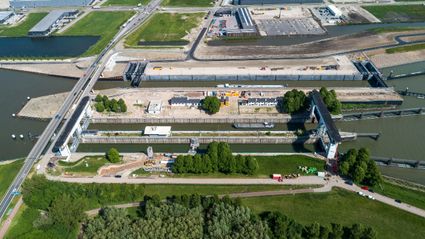
-
-
The Platte Brug with lock keeper's house
The Platte Brug with lock keeper's house
Platte Bridge
Raadhuisplein 9
3433 ZA Nieuwegein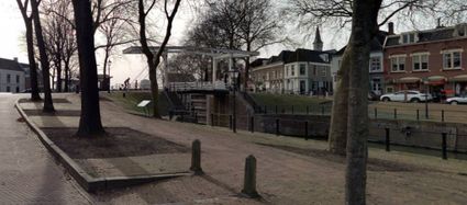
-
17
-
15
-
-
19
-
18
-
87
-
46
-
74
-
-
6
-
-
59
-
68
-
-
55
-
32
-
-
33
-
93
-
-
49
-
36
-
-
79
-
88
-
61
-
92
-
68
-
59
-
-
6
-
56
-

Description
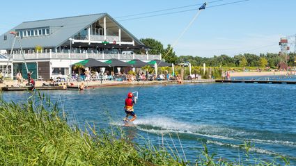
The route follows the white-and-green signs of the cycle route network and can be picked up at any junction. A convenient starting point, for example, is TOP Linielanding.
- 90
- 3
- 17
- 15
- 19
- 18
- 87
- 46
- 74
- 6
- 59
- 68
- 55
- 32
- 33
- 93
- 49
- 36
- 79
- 88
- 61
- 92
- 68
- 59
- 6
- 56