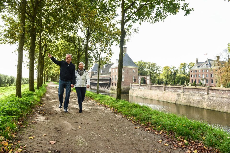
Walking around Amerongen Castle
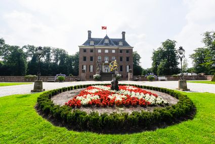
Amerongen Castle is one of the many country houses in the Utrecht Region. This walking route around Amerongen Castle leads through the beautiful woods surrounding the castle and over Amerongse Berg. The Amerongse forest is the oldest on the Heuvelrug, some trees are more than 100 years old, and many remains of burial mounds from the Middle and Late Bronze Age have been found on Amerongse Berg. This walk guarantees stunning nature, heritage and culture. Combine this walk with a visit to the castle and castle gardens, or with a visit to one of the catering establishments along the route and enjoy a complete day out on the Hill Ridge.
This route was developed by Trage Tochten and joins the national castles line of the Netherlands Bureau for Tourism (NBTC), a selection of the most beautiful castles, country estates and country houses in the Netherlands.
You are going to see this
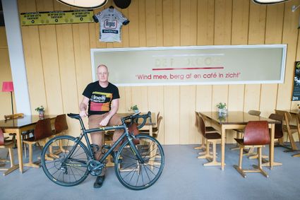
LIZ Restobar - Buitenplaats Amerongen
Drostestraat 123958 BK Amerongen
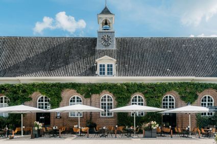
LIZ Restobar - Buitenplaats Amerongen
LIZ Restobar - Buitenplaats Amerongen
Drostestraat 12
3958 BK Amerongen
Café-Restaurant-Hotel Buitenlust
Café-Restaurant-Hotel BuitenlustBurg. Jhr. H v.d. Boschstraat 13
3958 CA Amerongen
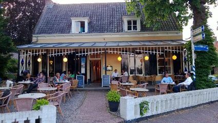
Café-Restaurant-Hotel Buitenlust
Café-Restaurant-Hotel Buitenlust
Café-Restaurant-Hotel Buitenlust
Burg. Jhr. H v.d. Boschstraat 13
3958 CA Amerongen
Description
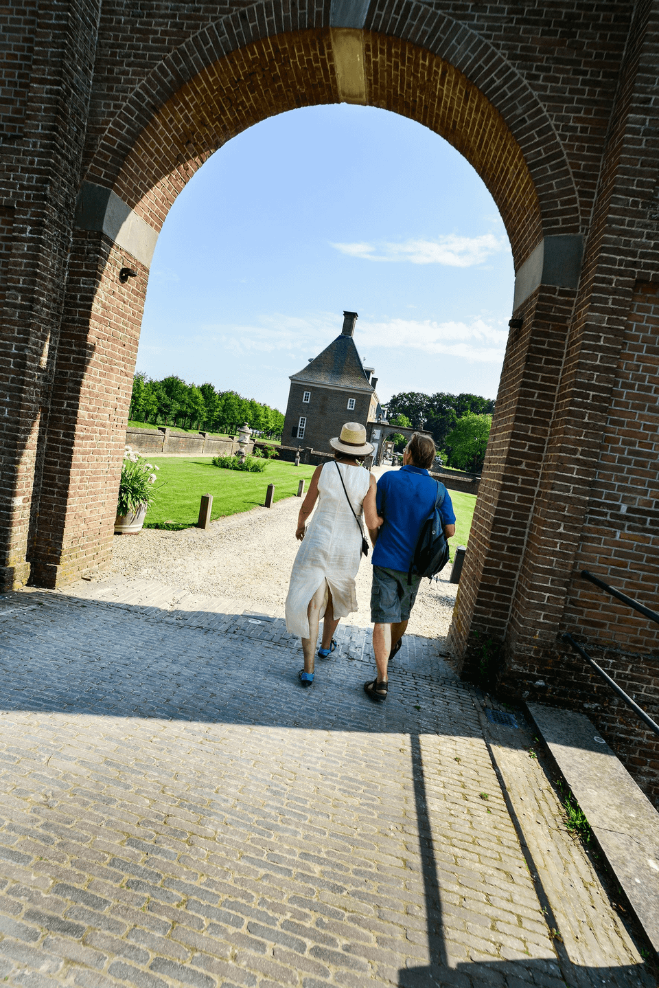
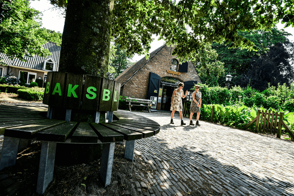
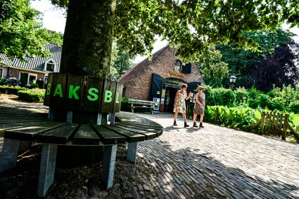
This walking route starts at the TOP Amerongen, Burgwal 6 in Amerongen. There, there is ample and free parking and an information centre located in a former tobacco barn, among other things.
The route is not signposted, but can be easily walked using the text description and map image. A full route description is on the Trage Tochten website, click on the button, or download the PDF.
Route description;
- From the car park, facing the castle entrance, turn left. Follow brick road and turn right at junction; pass church on left. At the fork, keep left. At the next fork in the road near the café-restaurant-hotel Buitenlust, turn right, Burg. Jhr. H. v.d. Boschstraat. Just before the main road, go straight ahead along a brick path. Follow footpath next to cycle path straight ahead.
- At corner of churchyard turn right and immediately left, footpath along the churchyard. Where fence turns right, turn left (post with brown route). Cross the N225. Pass the barrier and go straight on into the woods. Turn right at the second crossroads, gravel path in the forest edge. Continue further along the edge of the forest. Pass the pedestrian lock and turn left at the crossroads. Immediately afterwards at crossroads go straight ahead, wide beech avenue. The gravel road bends to the right. You pass a barrier and turn left along the car park towards 't Berghuis. Immediately past 't Berghuis is a burial mound on the left. About 50 metres past a barrier, go straight ahead at the crossroads.
- At the next junction, continue straight ahead; now the climb to Amerongse Berg begins. Continue straight up to the summit with information column. At the summit, take the second path on the right, parallel to a bridleway on your left. Go straight ahead at the crossing of paths. End left, loam pit on your left. At crossroads of paths, take the second path on the right (brown route). Follow wide gravel road and cross a bridleway. At the lowest point by a bench, turn right, path downhill (leave the brown route).
- Continue straight downhill. At the junction at P-21793/001, take the second path on the right. Continue straight on; after about 800 metres there is a wooden hand sign on the right, slightly off the path. At the crossroads after this, turn right into Boswachterij Amerongse Berg. Keep going straight up to the highest point at the 'Lonely Oak'.
- Take the second path to the left here (yellow-red markings). Path descends and go straight ahead at the first junction. Shortly afterwards, take the first path on the right, through a pine forest. At the end, turn left. After about 50 metres, go straight on at a crossroads and shortly afterwards also straight on at a crossroads. Continue straight on; cross a bridleway and then a cycle path. At the crossing of paths, by an asphalt cycle path and a barrier, turn sharp right. From here, follow the white-red marked Trekvogelpad to Amerongen. At first crossroads, turn left after about 600 metres.
- Straight ahead. At 't Pannekoekhuis, cross the main road (Elsterstraatweg). Straight ahead, Molenweg. Where the asphalt bends left at an angle, turn right on a dirt track.
- Via swing gate into the grazing area of the Amerongse Bovenpolder. Leave the grazing area via a swing gate and continue straight ahead. Pass a watchtower. Turn left on the asphalt road. Before house 'Zandvoort', turn left into a semi-paved road. Turn right just before Amerongen Castle, back to the car park.