
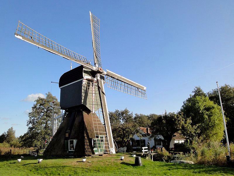
Around the river Vecht
Discover the Nieuwe Hollandse Waterlinie, along locks, canals and forts in the beautiful Vechtstreek.
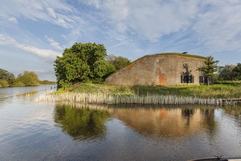
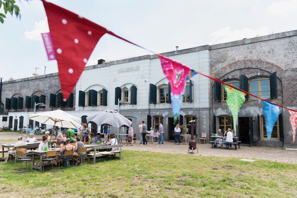
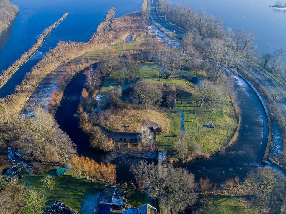
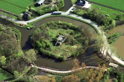
Water was the crest of the Dutch Waterline: a long ribbon of forts, canals, locks and dykes. These enabled people to flood stretches of land and thus stop the enemy. Part of the Waterlinie lies in the area of Waterschap Amstel, Gooi and Vecht. The Vecht and the Vecht lakes were very important for the Waterlinie.
Explore the waterline by bike and learn more about its special history.
You are going to see this
-
25
-
2
-
-
84
-
85
-
-
23
-
27
-
49
-
-
48
-
73
-
-
-
62
-
45
-
79
-
46
-
-
-
87
-
-
84
-
2
-
25
-
76
-
-
4
-
95
-
3
-
6
-
5
-
7



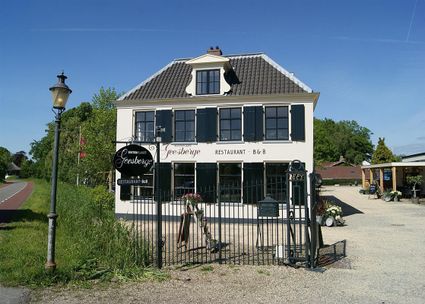

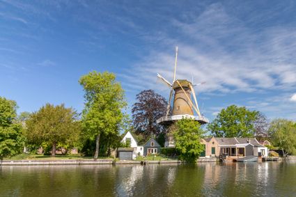
Description
This route follows the cycle junction network, recognisable by the green and white signs with cifers. Follow the nodes.
The route starts at Fort de Spion near the Loosdrechtse Plassen, where parking is limited. If you want to come by car, it is better to start the route at TOP Maarsseveenseplassen (Herenweg 53, Maarssen), where there is plenty of parking space.
- 25
- 2
- 84
- 85
- 23
- 27
- 49
- 48
- 73
- 62
- 45
- 79
- 46
- 87
- 84
- 2
- 25
- 76
- 4
- 95
- 3
- 6
- 5
- 7