


High and low
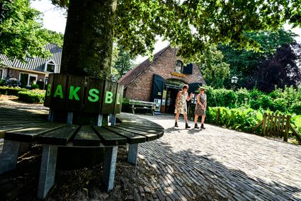
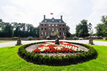
The name of this walking route refers to the varied differences in altitude and lows. For instance, you walk over the top of Amerongse Berg (about 69 metres above NAP) and along the much lower Amerongse Bovenpolder. In the forest, you walk along stately lanes and past giant beeches. If you walk along the Amerongse Bovenpolder, you have a view of the floodplains rich in birds. Don't forget to visit the viewing platform. From here you have a great view and can even see Amerongen Castle. This route also passes the information centre in the Tobacco Barn.
This is what makes this route special
- Amerongse forest
You are going to see this
-
-
-
17
-
99
-
91
-
15
-
20
-
35
-
51
-
45
-
61
-
28
-
43
-
38
-

Description
For this walking route, follow the orange junction signs (two-way) of the walking route network or the blue markings of Utrechts Landschap (one-way). The starting point is TOP Amerongen (Tabakschuur).
- 17
- 99
- 91
- 15
- 20
- 35
- 51
- 45
- 61
- 28
- 43
- 38