
TOP Station Driebergen-Zeist
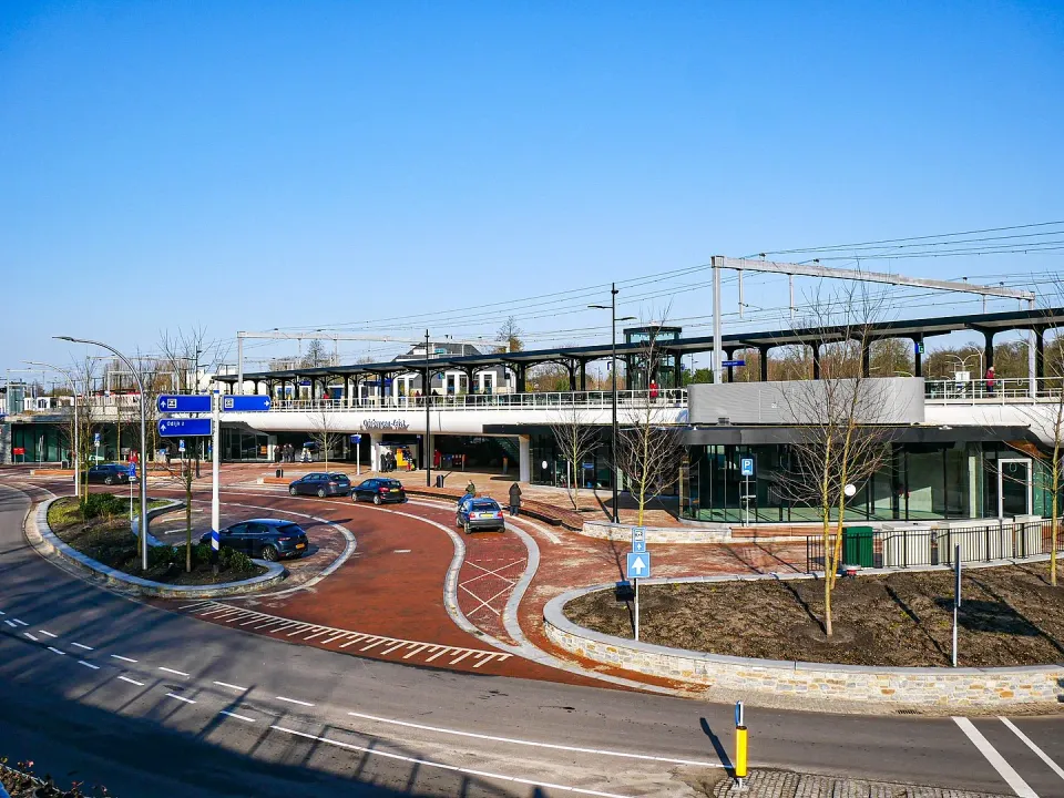

Location
Stationsplein, Driebergen
3972 NG Driebergen Rijsenburg Plan your route to TOP Station Driebergen-Zeist
Start your cycling or walking route from TOP Station Driebergen-Zeist! From this Toeristisch Overstappunt (TOP) many beautiful cycling and walking routes start, which you can put together yourself using the junctions of the route networks. We would like to highlight a few beautiful theme routes in the surrounding area
ROUTES
Walking routes (signposted)
Rondje Driebergen-Odijk (11 km)
Marking via walking junctions: 71 - 74 - 73 - 75 - 81 - 51 - 32 - 12 - 72 - 71.
Klompenpad Stoetwegenpad (11 km)
Marking via the red Klompenpad markings.
Hiking route Heidestein (4.5 km)
Marking via red markings.
NS-walking route Driebergen-Maarn (15.6 km)
Marking via the red and white NS markings.
Cycling routes
Go East, drink wine (40 km)
Marking via the cycle junctions: 38 - 41 - 44 - 43 - 97 - 81 - 11 - 80 - 79 - 96 - 04 - 05 - 59 - 76 - 78 - 42 - 40 - 39 - 98 - 35 - 37 - 38.
Castle route Utrechtse Heuvelrug and Kromme Rijn (32.5 km)
Marking via the cycle junctions: 79 - 96 - 04 - 05 - 08 - 09 - 59 - 76 - 78 - 42 - 43 - 97 - 81 - 11 - 80 - 79.
MTB routes
MTB route Zeist (17 km)
Marking via red markings.
MTB route Austerlitz (15 km)
Marking via purple markings.
PROVISIONS
- Catering facilities
- Public transport
- Toilet facilities